Information Regarding the Primary Reasons for the Northern
Gulf Coast's High
Biodiversity
Geological History and Current Physiography
Very diverse past and present
geological influences have strongly impacted the biodiversity of the Panhandle. The
Panhandle has been slowly emerging from the sea since at least some time in the Miocene (26-6 mya). Present day Florida is only part of a much larger unit, the Floridian Plateau,
an extension of the North American continent. However, the physical size of Florida has varied greatly throughout geological history, from being many times larger than it is today
to consisting of a series of small islands (which now comprise central Peninsula scrub ecosystems). The rocks that underlie the Panhandle range in age from Precambrian (570 mya - 4.6
bya) to recent. The surface geology of the Panhandle is entirely sedimentary. The Panhandle is currently divided into three physiographic regions, the Northern Highlands, the Marianna Lowlands and the Gulf Coastal Lowlands. The highest elevation in Florida occurs
in the Northern Highlands, near Florala at 345 ft. Bluffs overlooking the Apalachicola River
can be over 200 ft in height! The Marianna Lowlands is a karst region between
the valleys of the
Apalachicola/Chattahoochee,
Chipola and Choctawhatchee Rivers. The Marianna Lowlands has the highest number of dry caves (ca. 140 +) within Florida. The Gulf Coastal
Lowlands are found along the Gulf of Mexico and are generally low in elevation and poorly
drained containing many wetland areas. This lowland area contains barrier islands,
lagoons, estuaries, coastal ridges, and relict spits and bars, with intervening coast-parallel valleys.
Climate
Climate is a very important
factor effecting the Panhandle’s rich biodiversity. As a result of the
regions mild climate, stronger seasonal fluctuations (than the Peninsula), abundant rainfall
and past climatic influences; the Panhandle supports a rich diversity of plant and animal species. The Panhandle experiences a mild subtropical climate as a result of its latitude and a stablizing effect
due to the adjacent Gulf of Mexico. Winter temperatures
are quite variable due to the frequent passage of cold fronts. These fronts are
Pacific and Arctic in origin. Arctic fronts
can lower temperatrures to 15-20 degrees F., with single digits occasionally recorded.
The Panhandle has two peak rainfall periods: a primary summer thundershower period, and a secondary winter cold front
shower period.
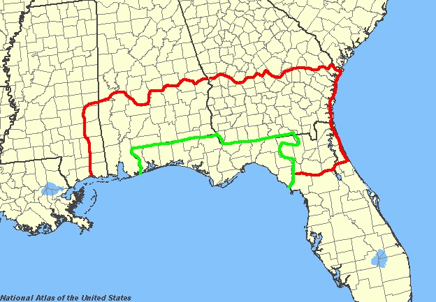
Central Location in the Southeastern United States
Because of the Panhandle’s
central location in the southeastern U.S., it receives biogeographical
influence from several regions in the U.S. The range of many species of plants and animals converge and overlap, and terminate
within the Panhandle. The Panhandle receives biogeographical influence from the
Tropics (through the Peninsula), the Atlantic Coastal Plain, the Gulf Coastal Plain, and the Appalachian
Mountains (from the Apalachicola/Chattahoochee Rivers).
Number
of Diverse Ecosystems
Ecosystem
type is determined by soil type and the kind of basement geological material in a given area.
Most of the soils of the Panhandle are of Pleistocene to Recent age. Local
soils also determine the distribution of plants and animals in a given area. The Panhandle’s rich biodiversity is increased
by its many different and diverse ecosystem types. There are six major ecosystem
divisions, comprising at least 57 different natural communities within the Panhandle.